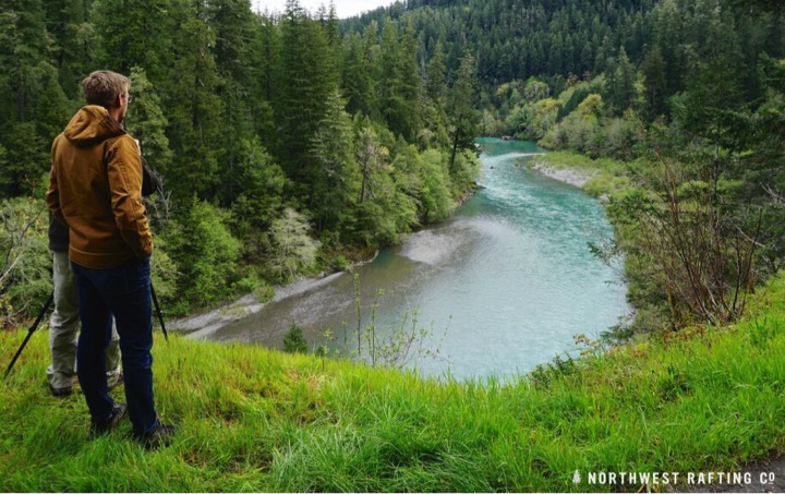
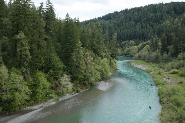
The Chetco River is a 56-mile long river located in southwest Oregon. It drains approximately 352 square miles of Curry County.
Flowing through a rugged and isolated coastal region, it descends rapidly from about 3,200 feet to sea level at the Pacific Ocean near the city of Brookings, Oregon. Except for the lowermost 5 miles, the river is located entirely within the Rogue River - Siskiyou National Forest.
Recent Accomplishment - State Scenic Waterway

Photo: Zach Collier/Northwest Rafting Co.
In 2016, Oregon’s Governor Brown officially designated 28 miles of new State Scenic Waterways in the Molalla and Chetco rivers, which are now protected from damming, dewatering and mining.
Our River Stewards, Mark Schmidt on the Molalla, and Sunny Bourdon on the Chetco worked with staff and rallied their community members and local businesses to support new these new protections.
After rounds of public meetings and comment opportunities, the final tally resulted in a full 99% of the comments received by the Oregon Parks and Recreation Department favoring State Scenic Waterways for both the Chetco and Molalla. The Clackamas and Curry County Commissioners also roundly supported the designation of both rivers.
In total, Oregon’s system of State Scenic Waterways now protects 21 river miles and one mountain lake for a total of 1,177 stream miles.
You can read the Chetco State Scenic Waterway Management Plan here.
And you can read the Molalla State Scenic Waterway Management Plan here.
