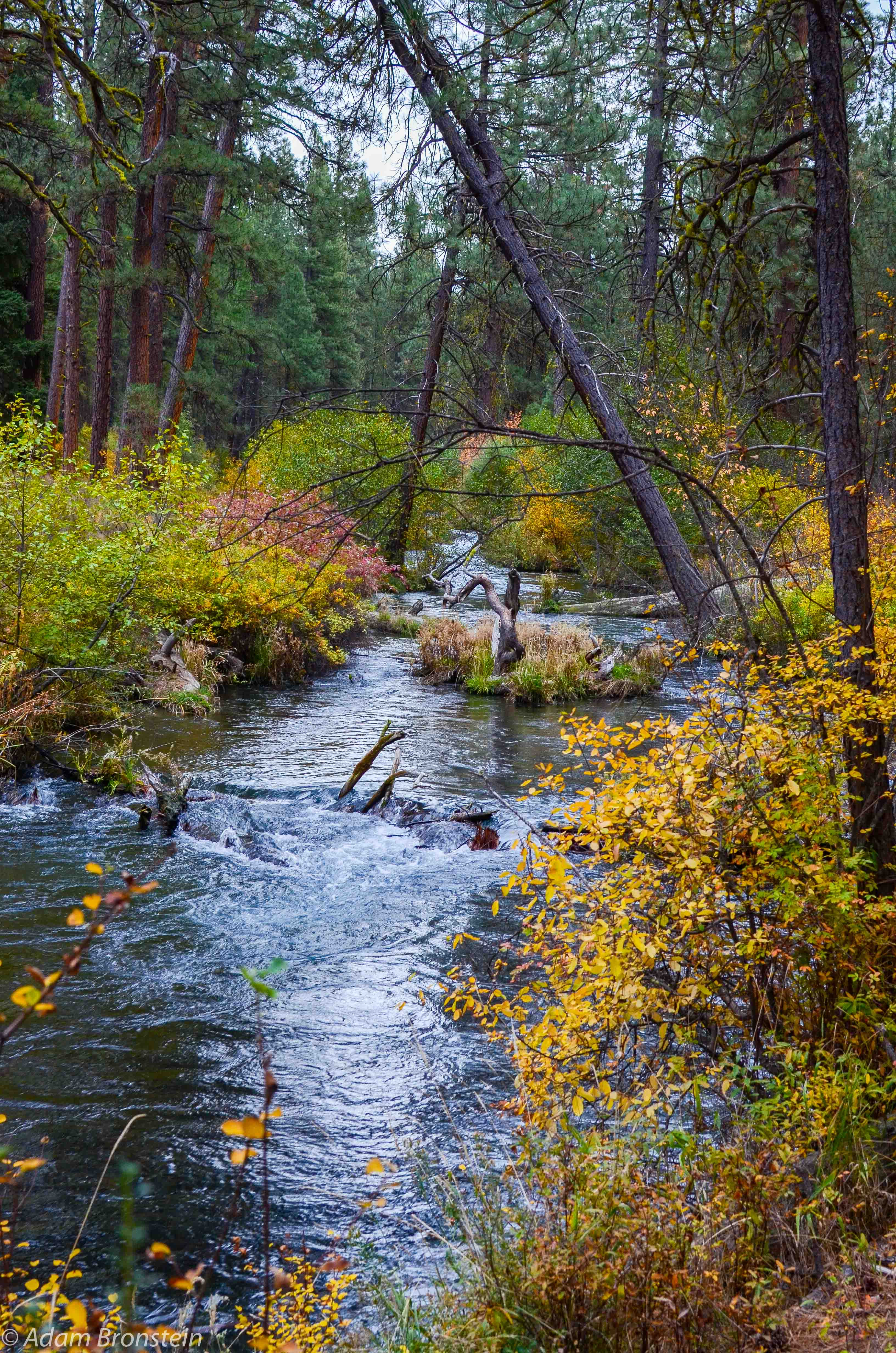
Background:

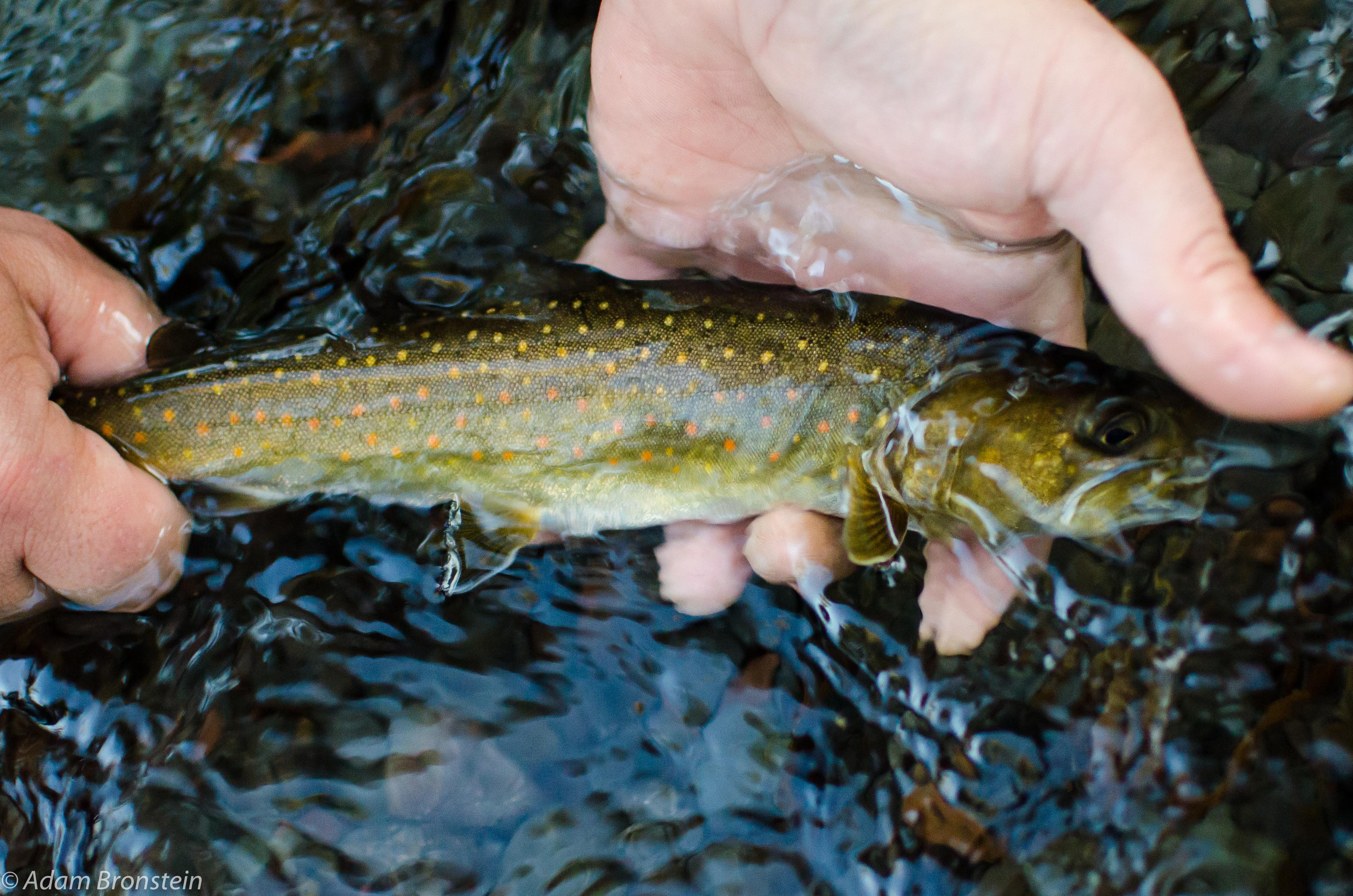
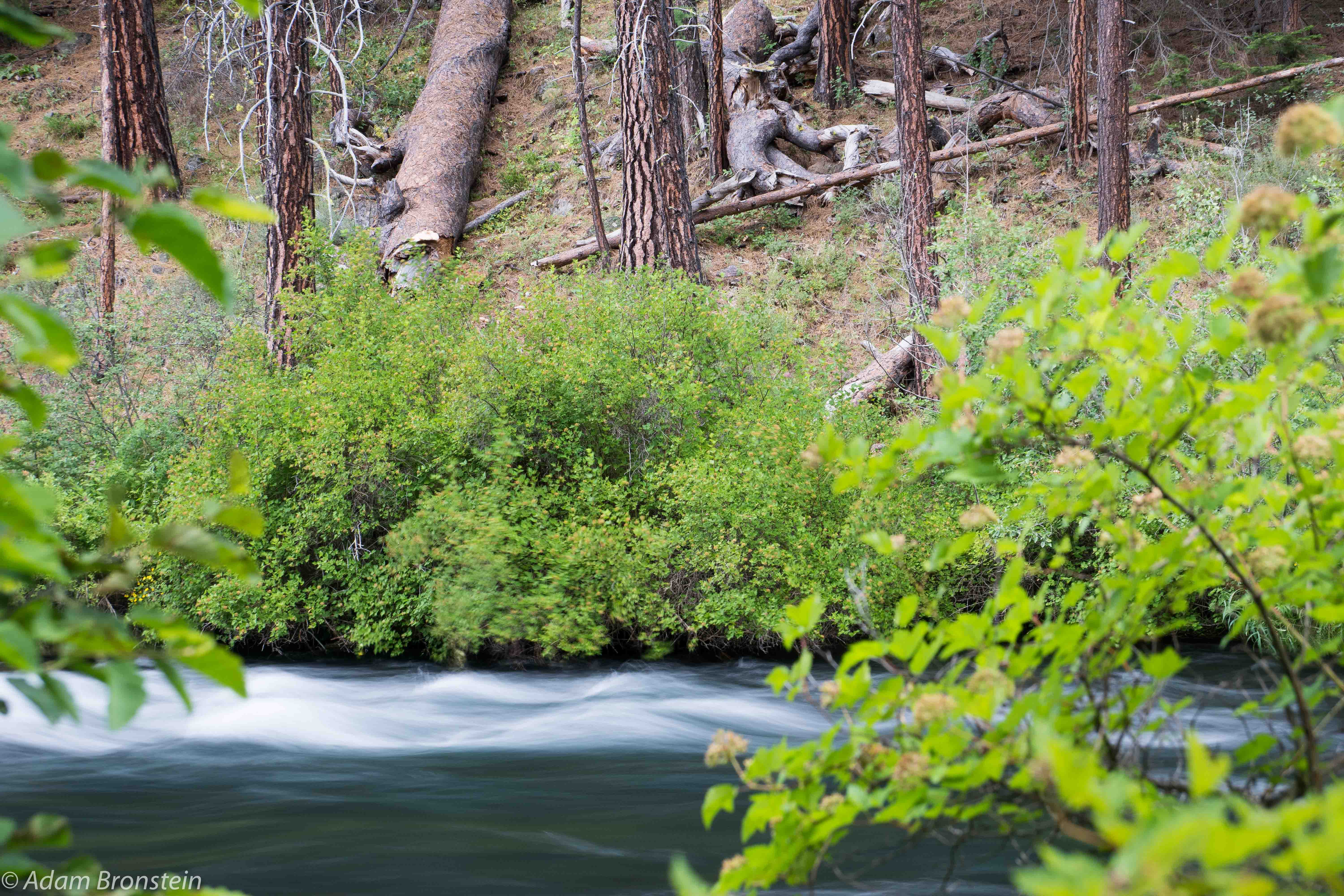
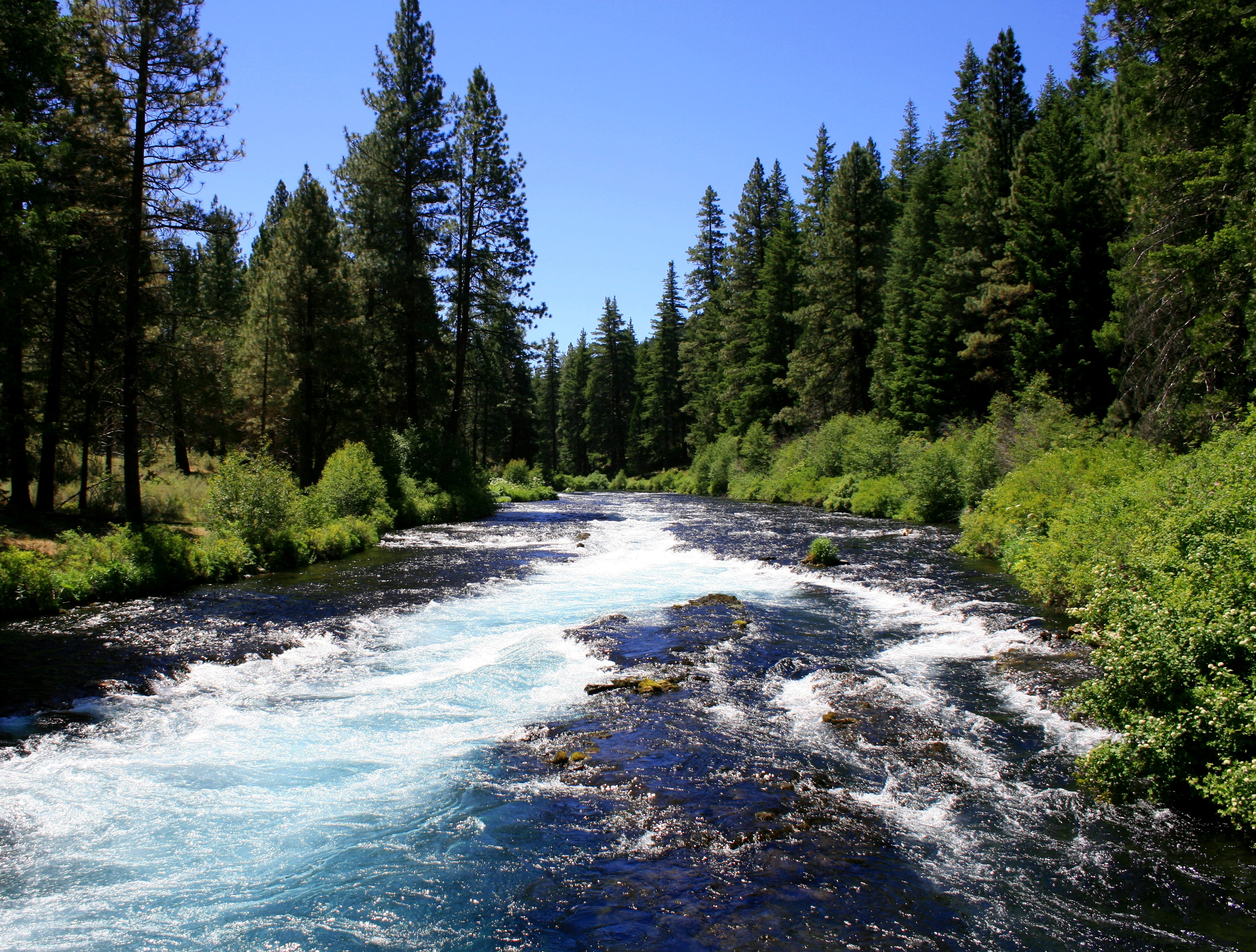
The Metolius River flows 28.6 miles (46.0 km) from Metolius Springs through the Deschutes National Forest, emptying into Lake Billy Chinook and ultimately the Deschutes River. The upper 11.5 miles (18.5 km) of the river are popular for catch-and-release fishing, whitewater rafting, picnicking, and camping. The lower 17 miles (27 km) are on the boundary of the Warm Springs Indian Reservation, and flow by "a primitive area where motorized vehicles are not allowed."

The Metolius River was officially designated a National Wild and Scenic River in 1988.


Metolius River Updates

River Steward Program Newsletter Winter 2018

We are starting to see rains show up earlier in southern Oregon than I can remember in the past couple of years, and I hope that this is the beginning to a long wet winter here in the Northwest. ...

A Long, Hot Summer for the Deschutes

It has been a hard year for the Deschutes River and its native fish. Below average snowpack in the higher elevations followed by an early, hot, and long summer drove water temperatures into lethal...

View All Updates

Virtual registration is free for anyone and everyone! Online bidding is open NOW through Saturday, April 13th at 6:30pm PST! This year's catalog is one for the record books. If you haven't already, browse through our amazing auction catalog, register for free, and get to bidding! And don't forget! BIG FISH TICKETS Available NOW and selling fast!